
Looking to the Future

Policy
Co-Benefits
STLCO 2050 recognizes that the Five Key Issues and plan recommendations are intertwined and are connected to multiple topics. They cannot operate in a silo. For example, one cannot develop housing without understanding how it may impact the transportation network. Planning for parks and open space is directly informed by the types of development around them. These connections, also known as “nexus points,” are important in identifying lead and supporting partners.
A recommendation that impacts multiple topics and issues has a higher level of policy co-benefits. Achieving the co-benefits is accomplished through a coordinated approach from County Departments and leadership, municipalities, and other stakeholders, which creates opportunities to address the issue of government fragmentation in St. Louis County. The graphic below illustrates what planning topic areas are encompassed in each Big Policy Bucket.

Complete Communities

Inclusive Economies

Responsible Growth

Leading the Region

Sustainable Infrastructure
Economic Development
Open Space & Environment
Housing
Land Use & Development
Transportation & Infrastructure
Maximizing Impact with Limited Resources
St. Louis County does not have infinite resources to address its issues. So, STLCO 2050 prioritizes the most transformative recommendations that address multiple issues and topic areas.
For example, when we think about how to promote greater housing diversity and affordability, we need to think about how housing can be accessible by different types of transportation and what economic impacts this has on the community. One cannot think about housing solely in terms of land use and development.
The nexus points demonstrate that by recognizing how different topic areas are intertwined, the County can better prioritize its actions to achieve maximum policy co-benefits for its communities.
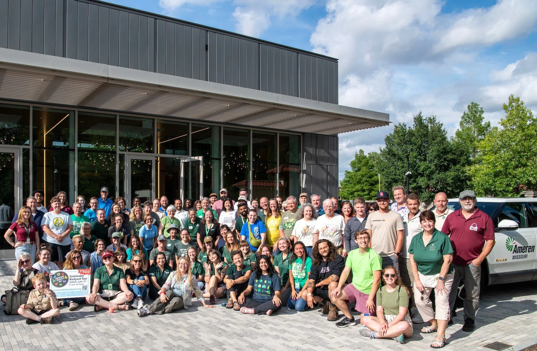
Building a Coalition of Regional Partnerships
A thriving St Louis County depends on forging strong relationships in the region and beyond. The County cannot do everything alone, and it will require collaboration with municipalities to ensure STLCO 2050’s vision and recommendations can be implemented in both unincorporated and incorporated areas.
Also, many external agencies and organizations are doing work that complements the County’s goals. Partnering with them and municipalities to form a larger coalition can promote a regional alignment of efforts to address the pressing issues that face the County.


What Does a Plan Recommendation Look Like?
STLCO 2050’s recommendations are the action items that St. Louis County will undertake to achieve the Five Desired Outcomes by addressing The Five Key Issues. The recommendations reinforce the connections between different issues, policy buckets, and topic areas and identify lead and supporting partners for implementation.
Recommendation Overview
A set of elements are included in each recommendation. The descriptions below correspond to the callouts at the right.
Recommendation Code. This organizes and numbers the recommendations by our Big Policy Buckets.
Recommendation Status. Existing means that the County is already undertaking this recommendation. Expand means an existing action/recommendation/policy will be expanded in scope. New means that this will be a new recommendation that the County will implement.
Recommendation. This is the plan recommendation.
Other Policy Buckets Achieved. Shows other factors that this recommendation achieves.
Key Issues Addressed. Shows what five key issues this recommendation addresses.
Related Planning Topic Areas. The highlighted icon(s) shows what planning topic areas the recommendation is related to. If multiple icons are highlighted, then there are “nexus points” or connections between multiple planning topic areas.
Applicable Geographic Scale. This indicates at what scale this recommendation is applicable to. Some recommendations are county-wide, some applies to all or specific municipalities within St. Louis County, and some are focused on specific sub-geographies, which includes neighborhoods or sub-area.
Equity Considerations. Promoting an equitable community is one of STLCO 2050’s top priorities. This shows what factors to be considered to ensure the recommendation produce equitable results when being implemented.
Sustainability Considerations. Another STLCO 2050’s top priority is to promote resilient communities. This shows what factors to be considered to ensure the recommendations contribute to more resilient systems when being implemented.
Lead Partner(s). The identified lead partner will be the primary organization/agency in implementing the recommendations.
Supporting Partner(s). Supporting partners are agencies/organizations/stakeholders who will be important in collaborating with the lead partner(s) to successfully implement the recommendation.
Cost. This shows an estimated cost associated with implementing the recommendation. The cost is divided into three broad categories. They are: Low (less than $1 million), medium (between $1 million and $10 million), and high (greater than $10 million). This is not an official cost of opinion. Rather, it is intended to help inform how the County and partners can prioritize its budget to implement the recommendation.
Timeline. This estimates how long would it make take to implement the recommendation. There are four categories, which are: Ongoing (this is already happening will continue to happen on an ongoing basis), near-term (within 5 years), medium-term (between 5 and 10 years), and long-term (longer than 10 years). The intent is to inform what recommendations can be low-hanging fruits for the County to implement and generate momentum while recognizing some recommendations will be long-term endeavors.
Project, Partnership, Policy. This indicates what form the plan recommendations take. It can be a project that the County may launch, a policy that the County may pass, or a partnership between the County and the identified lead and supporting partners.
Potential Funding Sources. This provides a list of potential local, regional, state, and federal funding sources that the County and lead/supporting partners can tap into to support implementing the recommendation.
Tracking Success. This shows potential ways to measure how successfully the recommendation is being implemented, and what to do if the implementation effort is either under- or over-performing.

Organizing the Recommendations
The plan recommendations are sorted and organized into the Five Big Policy Buckets. Some recommendations may only appear within one policy bucket while others may appear in multiple. This reinforces how different themes and topic areas are related and the importance of forming partnerships with other stakeholders.
Within each policy bucket, the recommendations note which of the Five Key Issues is addressed, as well as overlap with other policy buckets. Each recommendation’s page contains important details, such as equity and sustainability considerations, lead/supporting partners, potential funding sources, and timeline.


Future Placetypes
To guide future development, STLCO 2050 utilizes an approach that defines 15 distinct “placetypes” based on scale, form and function. The place-based approach does not focus on the use of a specific parcel alone, but rather the collective mix of uses that create and strengthen the character of a community. These placetypes establish development options that characterize areas of the County by their unique identities. St. Louis County is a collection of distinct communities and STLCO 2050 encourages context-sensitive development and flexible, compatible growth.
Utilizing placetypes enables the County to collaborate with municipalities and service providers to manage existing areas and guide future growth. The County's 15 placetypes identify each area's character, typical land use mix, key design features, mobility, and other defining elements. Each placetype includes primary land uses that shape its identity, and supporting uses that complement and serve the primary functions. The cards below describe each of the 15 placetypes, and are color coded to match how the placetype shown in the Future Placetype Map.
The interactive map below includes the County’s existing Land Use Map, and then the Future Placetypes Map which shows where the proposed placetypes are located within the County.

Recreation & Open Space
The Recreation & Open Space Place Type includes public parks; privately-owned, outdoor active recreation areas, including golf courses, sports complexes, and sports tournament facilities; and all lands designated for the purposes of a private or public cemetery. Recreation & Open Space may be either privately-owned or owned and maintained by St. Louis County, local municipal governments, or state agencies. Likewise, these types may be publicly-accessible or private (such as private country clubs).

Agricultural
The Agricultural Place Type refers to large-scale working farms, located primarily along the Missouri River on the western and northern edges of St. Louis County. This type consists of a variety of development types, including residences; barns and other agricultural structures; and fields for the cultivation of crops or grazing of livestock.

Rural Residential
Large-lot working farms and residences on non-working farms, located primarily on the north, west, and south periphery of St. Louis County along municipal and county roads sometimes with private access. Lots are typically square or rectangular in shape and typically larger than five (5) acres. They feature detached single-family homes, often with auxiliary structures for agricultural or livestock uses.

Suburban Residential
Subdivision with curvilinear and irregular blocks with multiple cul-de-sacs and limited street connectivity. Lots are typically a quarter of an acre or larger and can be wedge-shaped, depending on street alignment. These subdivisions are frequently separated by tracts of common ground, sometimes including common amenities and stormwater facilities. Typically the only permitted dwelling type is the single-family detached residence with accessory buildings.

Traditional Neighborhood
Traditional neighborhood structure with multiple through-streets, blocks, and intersections. Lots are rectilinear and typically deeper than they are wide. This placetype includes a mix of detached single-family homes, duplexes, triplex/fourplexes, and attached townhomes, some with accessory structures. Homes have a consistent setback from the street.

Suburban Multifamily
Complexes or subdivision of multi-family building types located on single large lots or agglomerations of lots. Dwelling units can be rental or owner-occupied as condominiums. Lot sizes and shapes are variable, and they feature internal, private streets or drives with shared parking, common ground or common recreation areas for residents, sometimes with a pool, clubhouse, or other auxiliary structure for accessory uses.

Town Centers & Main Streets
A low-density mixed-use district or corridor (corridors oriented linearly on a single street), featuring a mix of dining, retail, and service business, offices, and residential. Town Centers & Main Street types may be historic “Old Towns”, or they may be recently-developed “New Urbanist” town centers or main streets. Town Centers & Main Streets have street-oriented storefronts with sidewalks for a high degree of walkability and pedestrian access.

Downtown
A medium- to high-density mixed-use district. Typically, these are oriented around one primary street, but they have a much larger footprint than the linear footprint of the Main Street type. Downtown Clayton is a unique, large-scale district in St. Louis County. Downtown types were typically the centers of railroad suburban towns in St. Louis County, such as Kirkwood, Webster Groves, and Ferguson and often are home to the municipalities’ City Hall and government functions. Downtown types have a mix of specialty retail, dining, entertainment, and retail uses, as well as large amounts of upper-story office and residential uses. This type has street-oriented storefronts along primary streets, and have sidewalks on all streets for a high degree of walkability and pedestrian access.

Innovation Center
A medium-density mixed use district of specialized office, laboratory, institutional, and research buildings for high-tech and biotech industries, supported by vibrant, ground floor mixed-use development, multifamily housing, and other supportive amenities.
Mixed Use Corridor & Node
Development is built around bus stop and light rail stations, prioritizing a mix of uses. Buildings are oriented around the transit stations, emphasizing rider and pedestrian access. This placetype blends housing and employment while integrating other uses necessary to support the needs of both residents and workers. These include a wide variety of retail, dining, entertainment, and services. Mixed use residential with multifamily apartments or condominiums above ground-floor commercial and office is the primary use. Other multifamily buildings, townhomes, and large offices are also found in Mixed Use Corridor & Node.

Neighborhood Commercial
Small-scale, neighborhood-oriented dining, community service, and small-scale retail businesses. Uses typically include restaurants, cafes, coffee shops, pharmacies, filling stations, dry cleaners, hairdressers, professional service businesses, and boutique retailers. This type is auto-oriented but, due to their location, typically provide good walkable access from nearby residences. Buildings range from storefronts to small strip malls. They typically utilized shared, on-site parking.

Corridor Commercial
Auto-oriented retail, service, and commercial business uses located along primary and secondary commercial arterials, highways, and interstates. Corridor Commercial types include entire range of uses found in the Neighborhood Commercial type, in addition to medium- to large-scale strip malls, supermarkets, car dealerships, medical offices, and professional services offices. Big box retailers and indoor shopping malls are located along highways and interstates. Buildings are typically strip malls and utilize shared, on-site parking.

Civic & Institutional
Large-scale institutional uses comprised of a single primary building with auxiliary buildings on a single lot or a contiguous agglomeration of lots. Uses include government facilities, large high schools, and other civic functions. Civic & Institutional types are a minimum of five (5) acres in size. They are typically located on arterial roads and are served by private driveways with dedicated, on-site parking facilities.

Office & Industrial Park
Office buildings, complexes of office buildings, complexes of service business facilities (i.e. contractors, sales, showrooms), low-impact manufacturing, warehousing, services, and other low-impact industrial uses and/or mixes of these uses. The Office & Industrial Park type also includes supportive mixed-uses including restaurants and hotels. Office & Industrial Park types are served by public or private drives with shared parking facilities. These types are typically located with easy access to arterial surface roads and/or interstate highways.
General Industrial & Logistics
The General Industrial & Logistics Place Type describes single facilities or complexes of high-impact manufacturing, material extraction, material processing industries, and transportation and distribution of both goods and people. Examples include chemical production, metal smelting, manufacturing of vehicles and heavy equipment, quarrying, landfills, sewage treatment, airports, railroad yards and rights-of-way, light rail facilities and rights-of-way, wholesale distribution centers, and retail distribution centers and other heavy industrial uses. General Industrial & Logistics types are served by public or private drives with dedicated parking facilities. These types are typically located with railroad access and easy access to interstate highways.

How We Created the Future Placetypes Map
The creation of the Future Placetypes Map (FPM) across the entire geography of the County required the community to envision different outcomes for its future over the next 25 years. These outcomes varied in intensity of change in both physical development and socioeconomic opportunity and resulted in the creation of 12 unique scenarios. The planning team drafted these scenarios as narratives to describe how St. Louis County would look and function wholistically for every community member.
These narratives were then converted into tangible metrics such as new housing units developed or jobs created to help measure progress toward the desired outcomes. After the metrics were developed a map representing these scenario outcomes had to be made. To start, the planning team had to read and understand the available comprehensive plans of each municipality within the County. As many of those municipal plans include a future land use map, the County team generalized them into our 15-placetype framework.
The future land use plans of the municipalities were then translated onto the County’s map, overlaid with iterative changes from the 12 scenarios to create the Future Placetypes Map. Extra attention was given to the Unincorporated portions of the County to align anticipated changes and growth opportunities with proximate municipalities.
The FPM is intended to be ambitious and demonstrate the scale of transformation that the County needs to undergo in order to be a growing place that becomes a hotspot for new residents, including professionals and young families with children. The FPM is the physical guide for new and redevelopment throughout County as well as a tool for measuring and tracking successful implementation for the 2050 vision.
Existing & Future Placetypes Map
The Existing Placetypes Map shows generally shows existing character of land use and development in St. Louis County (refer to the ECR’s Land Use and Development StoryMap for greater details). The Future Placetypes Map (FPM) represents a long-term vision of St. Louis County in terms of future land use and development. Implementation of such vision will require coordination and collaboration with incorporated municipalities, County departments, external organizations/agencies, and other stakeholders.
To navigate this map:
Hold left-click to pan around the map.
Hold CTRL and scroll to zoom-in and -out of the map.
Click the icon with “i” at the bottom-left corner of the web map to see the legend.
To toggle between the Existing and Future Placetypes Map, click on the left/right-arrow button at the side of each map.
